Wallerawang, known as Wang to locals, is located about 150 km north-west of Sydney, beyond Lithgow and to the west of the Blue Mountains. Wallerawang is a Wiradjuri word, and means plenty of water, or place near wood and water. The road from Bathurst to Wallerawang was established in 1820, and the ‘Waller-owang’ station was taken up in 1824 by James Walker. Wallerawang became an important stopover for people heading to Mudgee and the outer farming districts.

The railway station at Wallerawang opened on 1 March 1870. It was known as Mudgee Road station initially, changing to Wallerawang in 1873. The railway line to Bathurst was completed in 1876, and meanwhile, travellers heading to Bathurst or Mudgee transferred to a Cobb and Co coach at Wallerawang. Rail services ceased in 1989, but work is underway to refurbish the station, with passenger services expected to resume in 2026. There is a video tour of the abandoned station here, with a further update about the reopening as well.

As with many towns, the coming of the railway resulted in an increase in development, and that can still be seen in the streetscape with two pubs located opposite the station. There is a great post here about a pub road trip through Wallerawang, Portland, Cullen Bullen and Capertee. It includes historic and contemporary photos of the pubs in these towns, along with a history of how they came about. This includes the two pubs at Wallerawang, known as the Top and Bottom pubs, though they are only metres apart.

The first post office located in Wallerawang opened in 1871 at the new railway station. Between 1875 and 1912, the post office was housed in various private premises until the government built the above building. It also housed the manual telephone exchange. Wallerawang was the administrative centre of the Blaxland Shire, which had been formed in 1906 as a local government area in the Central West of New South Wales. The shire included Bowenfels, Capertee, Cullen Bullen, Hampton, Hartley, Portland and Tarana. It was abolished and absorbed into the City of Lithgow in 1977. The post office has an adjacent residence, and is currently on the market.
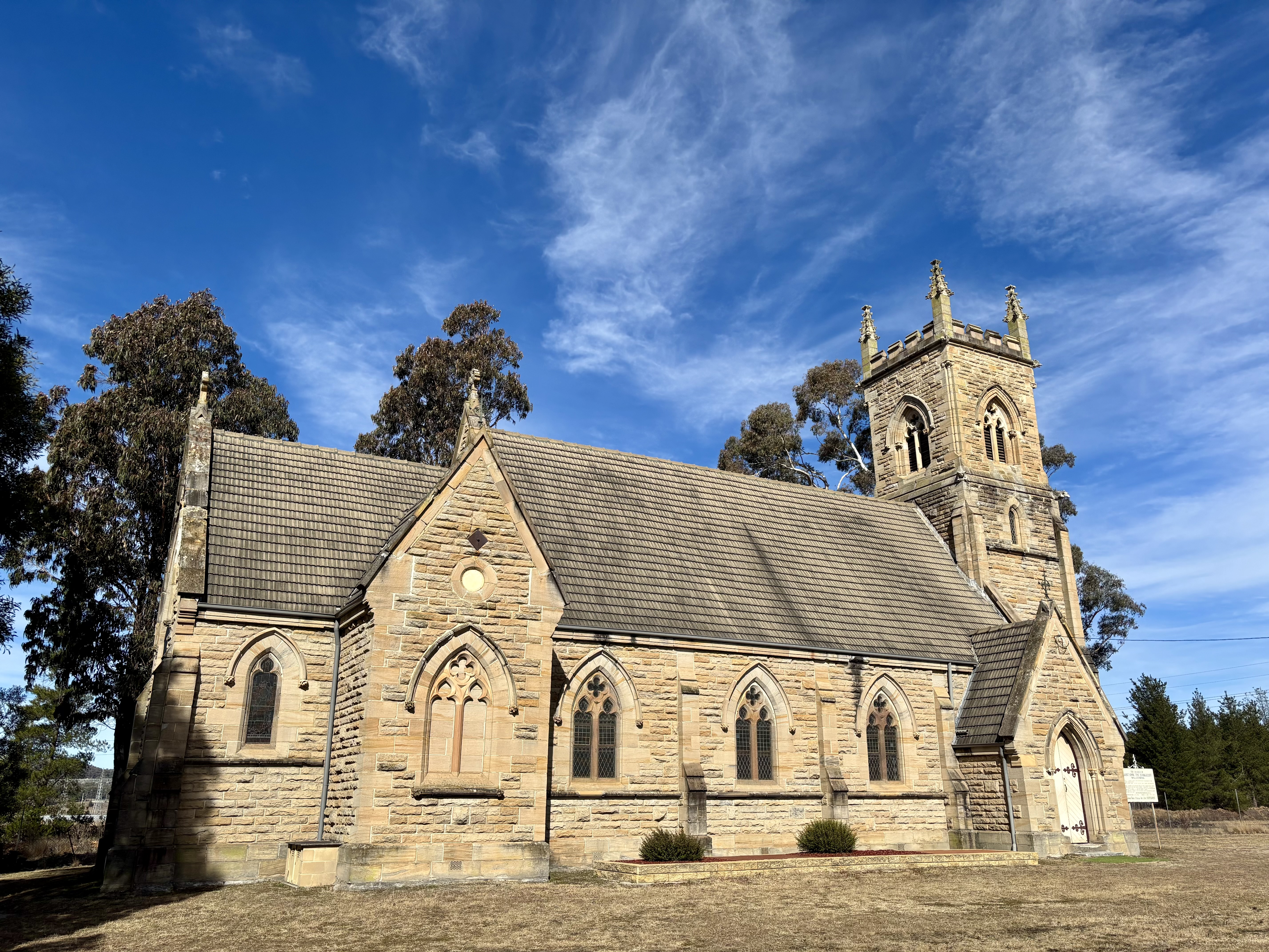
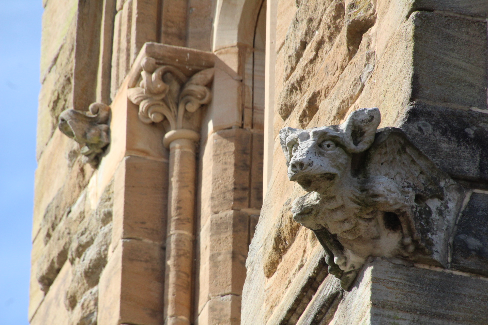
The Church of St John the Evangelist was built in 1881 on part of the original Wallerawang station to a design by Blacket & Son architects. It was built by Mrs Georgina Abbott, who was the daughter of James Walker. It was the estate chapel, and a public dual-denomination church. In 1952, it was formally given to the Presbyterian and Anglican churches. This Victorian Gothic style church is a rare example of a major church building erected by private philanthropy. The tower has some interesting animal face gargoyles, and the church has a beautiful sense of symmetry.
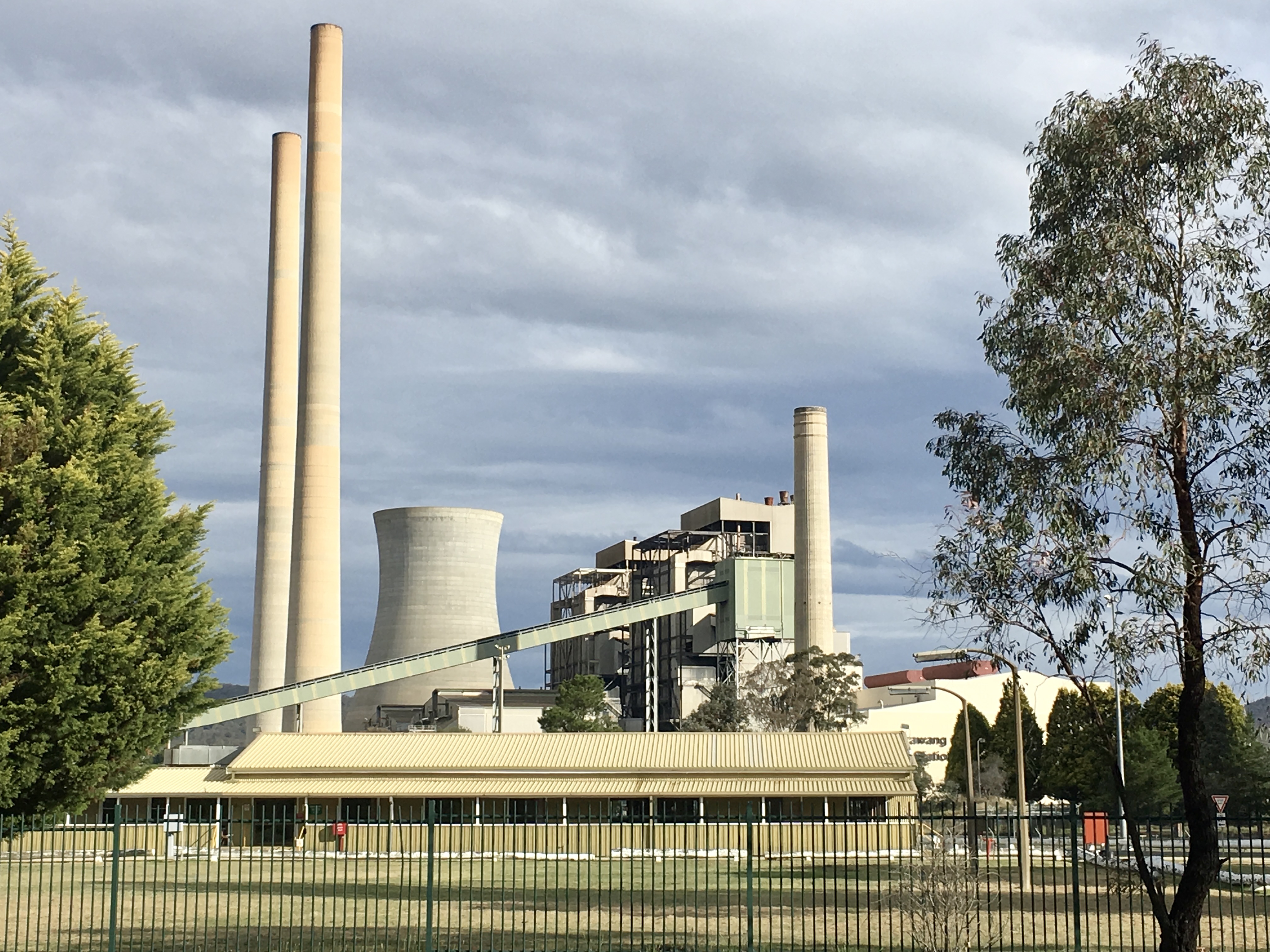

The Wallerawang Power Station was a coal-fired thermal power plant which was built in the 1950s and provided power from 1957 until its closure in 2014. It had provided employment, including across generations in some families. Much of the infrastructure was demolished in November 2021 to make way for a renewable energy hub. There is footage of the controlled demolition here, including the two chimney stacks and a boiler house. The photos above are from 2017 and 2025, showing the altered industrial landscape. Lake Wallace was created in 1978 as a cooling pond for the Wallerawang Power Station. It is now a popular recreational area.
You can find out more about the history and attractions of Wallerawang here. Have you taken the time to wander around Wallerawang?
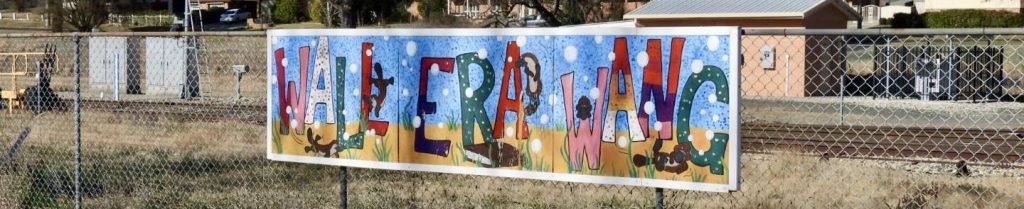
Photo: mural at Wallerawang


Leave a comment