The second-largest inland city in NSW, Wagga Wagga is 471 km south-west of Sydney which is about halfway between Sydney and Melbourne. It has a population of about 57,000 and is located on the banks of the Murrumbidgee River. The Wiradjuri/Wiradyuri are the First Peoples and Traditional Custodians of the lands and waters of the area.

The Marrambidya Wetland was opened in 2016. It is only minutes from the centre of Wagga, and the 20 hectare reserve is along the banks of the Murrumbidgee River. ‘Marrambidya’ is the traditional name of the river, and means big water.

The wetland has been created on land that was part of a sewerage treatment plant for decades. It is the culmination of five years of planning and construction to create a community space. The reserve includes walking tracks, viewing platforms and educational spaces. There are signs along the tracks, and storytelling devices.

It was a mild winter’s day when I took a walk around the wetland. There was a range of birdlife along the wetland areas, and many insects and frogs could be heard along the way.

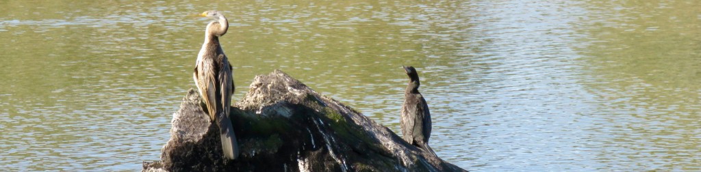
A particular highlight was watching an Australasian darter drying its wings in the winter sunshine.
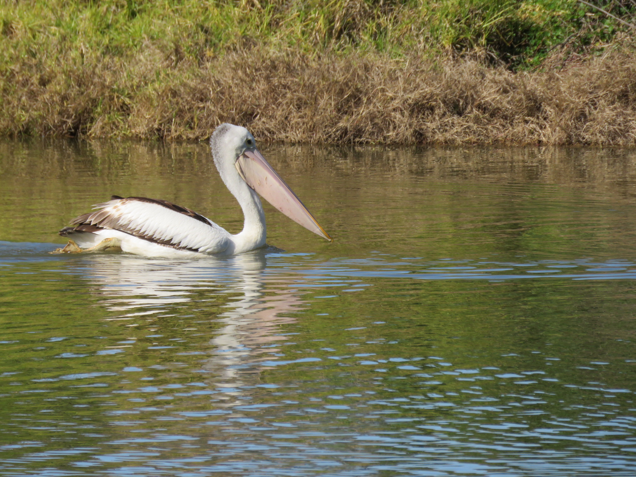
The location of such a wonderful space so close to the city makes it accessible, and helps to support a habitat for birds, water insects, mammals, and reptiles as well.
Have you had a wetland wander recently?
Photo: Australasian darter and cormorant.


Leave a comment